Large-scale infrastructure initiatives—spanning brownfield redevelopments, transport interchanges, civic bridges, and municipal utility networks—routinely falter at the feasibility stage. Over 42% of public grant applications encounter costly revisions, delays, or outright rejection due to geometric ambiguities, unverified as-built conditions, and unquantified spatial clash risks.
The Feasibility Dilemma: Why Traditional Surveys Fall Short
Securing major capital allocations from competitive public funding instruments—such as the European Union’s NextGenerationEU / ERDF programs, the UK Levelling Up Fund / National Infrastructure Commission grants, or municipal development budgets—demands unassailable technical due diligence. Traditional 2D paper blueprints and manual surveying methods fail to capture complex spatial geometries, sagging structural members, hidden MEP utility routing, and true terrain clearances.
When preliminary grant dossiers rely on outdated or interpolated dimensions, project contingency budgets swell by 15% to 30% to account for unforeseen site remediation. By deploying 3D LiDAR reality capture and digital twin modeling, infrastructure planners and general contractors replace guesswork with verifiable spatial ground truth (±20mm @ 10m) before breaking ground.
1. Accelerating Feasibility Studies with high-density 3D spatial data (±20mm @ 10m)
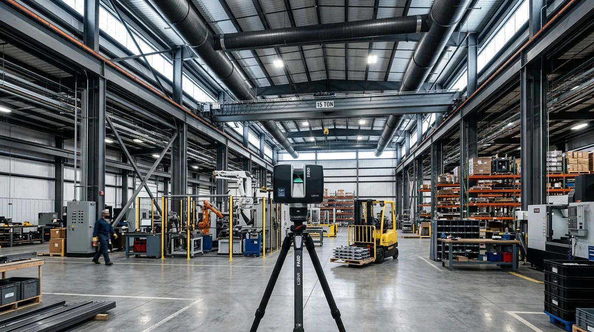
Feasibility studies require rapid, comprehensive, and non-destructive site evaluation. Utilizing long-range terrestrial laser scanners (TLS) combined with high-density Matterport Pro3 LiDAR, Digital Strada captures up to 50,000 m² per day. The resulting spatial capture yields:
- ASTM E2807 Registered Point Clouds (.E57, .RCP): Calibrated spatial point coordinates accurate to within ±2mm, preserving full photometric color (RGB) and laser reflectance intensity.
- Georeferenced As-Built Baselines: Coordination with national grid systems (ETRS89, OSGB36, Stereo 70) for seamless integration with municipal GIS databases and environmental impact software.
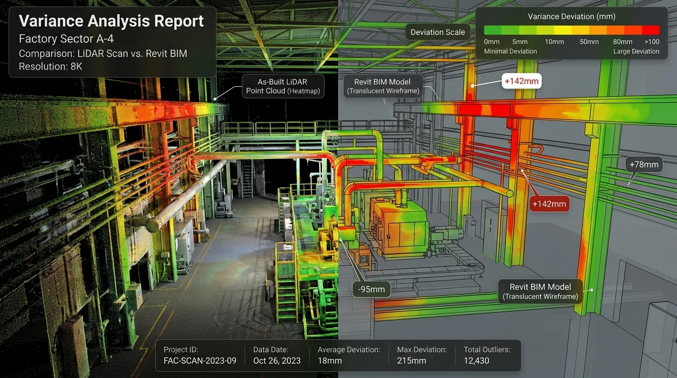
- Structural Deformation & Clearance Audits: Automated deviation heatmaps verifying beam deflections, masonry settlement, bridge abutment clearance, and tunnel gauge envelopes.
2. Multi-Stakeholder Consensus: GCs, Subcontractors, and Municipalities
Infrastructure delivery is inherently multi-disciplinary. Friction between General Contractors (GCs), MEP engineering subcontractors, environmental consultants, and public grant evaluators is responsible for significant schedule slippage.
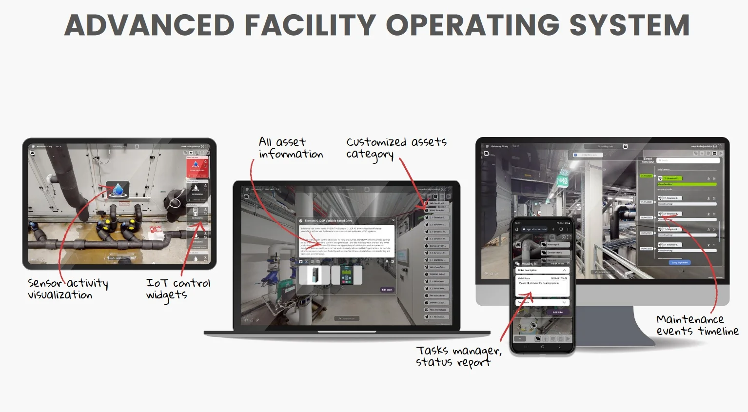
Our browser-based, cloud-hosted 3D digital twins provide an interactive, immersive common data environment (CDE):
- Virtual Site Inspections: Statutory auditing teams and grant officers can conduct virtual walk-throughs, inspect site assets, and verify geometric constraints without expensive field travel.
- Direct 3D Annotation & Spatial Tagging: Issue tracking, utility tie-in coordinates, and environmental tags can be pinned directly to spatial assets, syncing seamlessly into Autodesk Construction Cloud (ACC) and Procore.
- Transparent Tender Work Packages: Subcontractors receive high-density point clouds (±20mm @ 10m) and quantity take-offs, eliminating risk premiums and bidding discrepancies.
3. Scan to BIM Revit LOD 350 & Grant Audit Compliance
Grant approval committees increasingly require compliance with ISO 19650 BIM lifecycle standards. Raw point clouds are expertly converted into parametric Autodesk Revit (.RVT) LOD 200–350 models and layered AutoCAD (.DWG) drawings:
- LOD 350 Parametric Detail: Complete structural framing, connection plates, MEP piping runs, HVAC conduits, and electrical trays modeled with exact spatial clearances.
- Automated Quantity Take-Offs (QTO): Instant extraction of concrete volumes, steel tonnage, linear pipework runs, and demolition envelopes, providing grant evaluators with defensible line-item cost proof.
- Clash Detection & Pre-Mortem Engineering: Identifying conflicts between proposed modernization schematics and existing physical constraints prior to funding release.
4. De-Risking Public Funding: EU, UK & Municipal Grant Programs
Targeted Funding Mechanisms Supported by Digital Strada:
- European Union (NextGenerationEU / ERDF / Horizon Europe): Demonstrating high-fidelity energy performance baselines, circular economy asset re-use, and strict ESG compliance.
- UK Public Grants (Levelling Up / NIC / Section 106): Providing independent reality capture verification for regional transport nodes, civic regeneration, and brownfield site remediation.
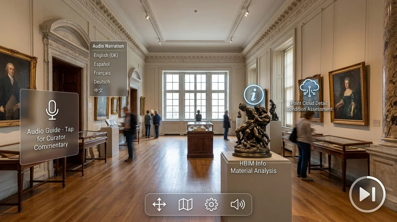
- Local Authority & Municipal Funds: Fast-tracking civic building modernization, heritage preservation (HBIM), and urban public utility upgrades.
Conclusion: Transforming Grant Proposals into Funded Infrastructure
In an era of tightening fiscal scrutiny, grant committees prioritize infrastructure projects that present zero spatial ambiguity. High-precision 3D LiDAR reality capture and Scan-to-BIM digital twins transform speculative feasibility studies into rigorously verified, shovel-ready initiatives.
To learn more about our specialized engineering workflows, explore our dedicated solution on Infrastructure Feasibility & Grant Acquisition, consult the Spatial 3D Use Cases Hub, or configure your proposal via our Instant Project Estimator.