
Tailored BIM Granularity for Every Project Stage
Engineered for architects, structural consultants, MEP engineers, and general contractors.
Conceptual & Massing Model
Structural framing, overall massing, exterior building envelopes, basic floor slabs, primary windows, doors, and roof contours.
Detailed Architectural & Structural
Exact wall layer assemblies, multi-layer floor compositions, primary structural steel/concrete, precise door/window schedules, and true elevations.
Full MEP & Construction Assemblies
Mechanical HVAC ducts, plumbing pipe runs, electrical cable trays, equipment clearances, and structural steel connection detailing.
Why Reality Capture & BIM Convergence Matters for Modern Project Delivery
Lost annually across AEC due to inaccurate blueprints and uncoordinated field measurements.
Major construction projects exceed budgets without visual 3D reality capture truth.
Precise ±20mm tolerance at 10m distance ensuring rapid BIM modeling and clash avoidance.
Rapid turnaround for full architectural and structural BIM packages.
How Scan-to-BIM Empowers Every Construction Phase
1. Design & Pre-Construction
We scan existing conditions with Matterport Pro3 LiDAR to create an as-built baseline Revit model (.RVT), allowing architects and engineers to identify MEP site clashes before breaking ground.
- Verified baseline as-built geometry (.RVT, .IFC)
- Clash detection against existing structural and MEP elements
- High-density .E57 and .RCS point cloud registration
2. Construction & 4D Progress Tracking
Periodic reality capture uploads into Autodesk Build and Autodesk Docs maintain up-to-date models. Pin RFIs and Observations directly onto 3D coordinates inside digital twins.
- Bi-directional Autodesk Build 3D RFI sync
- 4D visual milestone progress tracking
- Subcontractor accountability & visual sign-off
3. Handover & Facility Management
Upon project completion, Digital Strada delivers complete As-Built BIM models (.RVT LOD 350) paired with interactive 4K spatial twins for long-term lifecycle maintenance.
- Turnkey LOD 350 As-Built handover packages
- Embedded equipment tags & maintenance O&M manuals
- Integration with 3D Smart Building IoT telemetry
Actionable 3D Scan Add-Ons & Engineering Deliverables
Extract structured CAD/BIM data, high-density point clouds, and instant insurance loss sketches directly from our Matterport Pro3 High-Density 3D LiDAR scan data.
Schematic 2D/3D Floor Plans
PDF | PNG | SVG2D schematic floor plans with room labels, precise wall dimensions, and Gross Internal Area (GIA) calculations delivered within 24-48 hours.
BIM File Bundle (Revit & IFC)
.RVT | .IFC OpenBIMAs-built 3D Building Information Models containing structural elements, walls, slabs, windows, doors, and MEP systems modeled directly from 3D scan data.
e57 Registered Point Cloud
.E57 (ASTM E2807 Standard)High-density LiDAR point clouds containing 3D spatial coordinates, RGB color data, and sensor origin positions for complex BIM & CAD reverse engineering.
MatterPak™ Data Bundle
.XYZ | .OBJ Mesh | Floor Plan PNGComplete architectural data bundle containing colored point clouds, 3D mesh OBJ files, ceiling plans, and high-resolution floor plans for direct CAD import.
AutoCAD Compatible 2D/3D CAD
.DWG | .DXFClean, layered architectural CAD floor plans, structural section cuts, roof plans, and exterior building elevation drawings fully compatible with AutoCAD & BricsCAD.
TruePlan™ for Xactimate
.SKX Xactimate SketchTurnkey 3D insurance claim sketches delivered directly into Xactimate for rapid property loss estimation and insurance claim adjustments.
Seamless Autodesk Construction Cloud & Revit Workflow Integration
Digital Strada provides professional on-site 3D LiDAR scanning services and extracts ready-to-import Autodesk deliverables (.RVT, .IFC, .DWG, .E57, .RCP). We assist your engineering team in seamlessly connecting these 3D scans and BIM models directly into your existing Autodesk Construction Cloud (ACC) or BIM 360 project workspaces.
Autodesk Construction Cloud (ACC) & BIM 360 Connect
We help you connect our captured 3D digital twins and spatial data directly into your ACC project dashboard. Embed 3D walkthroughs as Partner Cards and align spatial RFIs.
Revit As-Built BIM Modeling (.RVT / .IFC)
We convert raw 3D LiDAR point clouds into parametric Autodesk Revit (.RVT, .IFC) models from LOD 200 up to LOD 350 for MEP, structural, and architectural design.
AutoCAD & Civil 3D Drawings (.DWG / .DXF)
We deliver clean, layered 2D floor plans, section cuts, roof plans, and building elevations ready for instant import into your AutoCAD and Civil 3D software.
Autodesk ReCap Pro Point Clouds (.RCP / .RCS)
High-density LiDAR point clouds (.E57, .XYZ) indexed for Autodesk ReCap Pro (.RCP/.RCS) to enable millimetric clash detection in Navisworks and Revit.
How Digital Strada Implements 3D Scans & Deliverables into Your Autodesk ACC Workflow:
On-Site 3D LiDAR Reality Capture
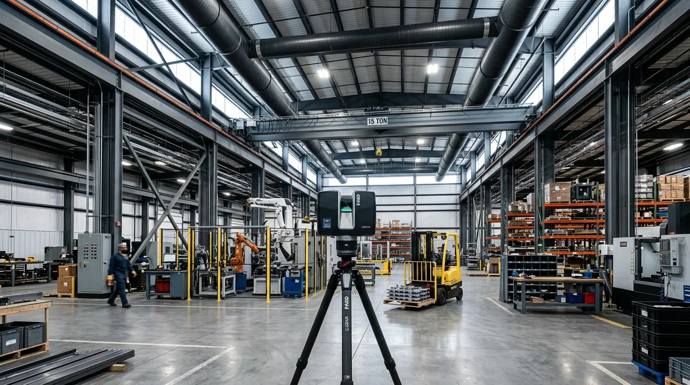
Digital Strada deploys high-speed Matterport Pro3 LiDAR scanners to capture your building or jobsite with ±20mm @ 10m spatial tolerance and up to 100m range.
Turnkey Autodesk Deliverable Extraction
Our BIM engineers process raw scan data and extract ready-to-use Revit models (.RVT LOD 200-350), AutoCAD drawings (.DWG), and ReCap point clouds (.RCP).
Direct Import into Client ACC & Autodesk Docs Account
Your project team receives structured Autodesk files to upload directly into your existing Autodesk Construction Cloud (ACC Docs / BIM 360) repositories.
Live 3D Dashboard Embedding & Workflow Setup
We assist your team in embedding the interactive 3D digital twin into your ACC Partner Cards dashboard for remote inspections and clash coordination.
How AEC Teams Benefit from Our Autodesk Implementation:
Complementary Media & Hardware Services
Aerial 360° Drone Panoramas & Tiny Planet Photography
Elevate your marketing with high-resolution aerial 360° panoramas, striking Tiny Planet spherical projections,...
Rapid 360° Virtual Tours & Google Street View Publishing
Accelerate your sales and Google search presence with rapid-capture 360° virtual tours powered by the flagship...
Cinematic Video Walkthroughs & Vertical Social Reels
Captivate buyers with fluid, presenter-led real estate walkthroughs and high-converting 9:16 vertical reels po...
Live Stream Events & Virtual Open Houses
Broadcast professional virtual open houses, corporate presentations, and product launches with multi-angle wir...
Configure Your 3D Scanning, Scan to BIM & Software Proposal
Select your project area, space parameters, preferred currency, and required engineering deliverables below for a tailored technical proposal benchmark.
Configured Scope Summary
Request a Tailored Scan-to-BIM Proposal
Connect with Digital Strada’s BIM specialists to review your LOD specifications, point cloud requirements, and delivery schedule for architectural, structural, or MEP projects.