.png)
Utilizarea Scanării 3D și HBIM pentru Clădiri Tradiționale | IHBC & STBA CPD
💡 I attended the IHBC-recognised STBA and IHBC CPD webinar “3D Scanning, Heritage BIM (Building Information Modelling) and the evolving role of AI for traditional and historic buildings” on 26 September 2025, receiving up to one hour of recognised CPD, and this article sets out how I will apply the learning in a measured, phased way in Northern Ireland.
🛠️ The session positioned conservation practice as evidence led, with IHBC introducing its UK-wide professional remit and STBA outlining its responsible-retrofit focus and guidance resources, a useful backdrop for choosing the right level of digital capture per building and per decision.
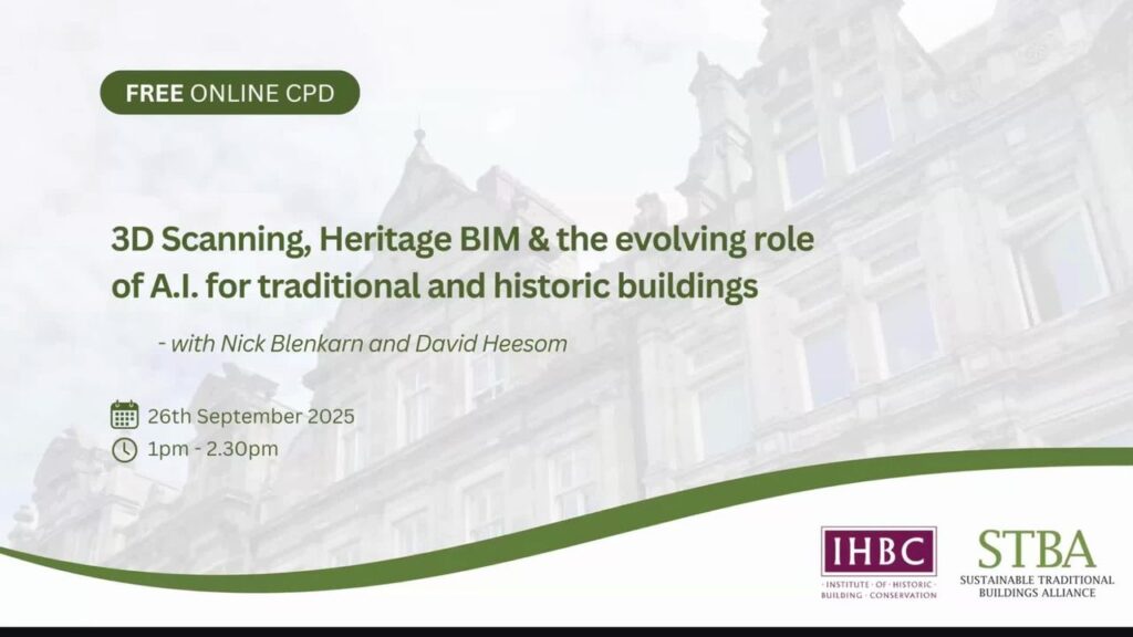
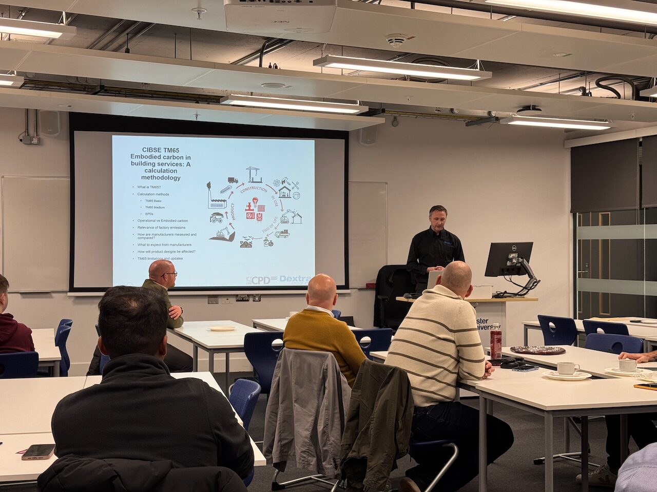
💡 Presenters Nick Blenkarn and Professor David Heesom walked through fast web-shareable capture, higher-accuracy laser scanning, and HBIM uses, which helped me map capabilities I have today and those I will develop through pilots and partner collaborations.
💡 For now, my first step on most heritage briefs is orientation-grade, image-based capture and remote walkthroughs, a lightweight method that helps stakeholders understand constraints, plan access, and reduce unnecessary site revisits before commissioning heavier survey effort when the decision requires it.
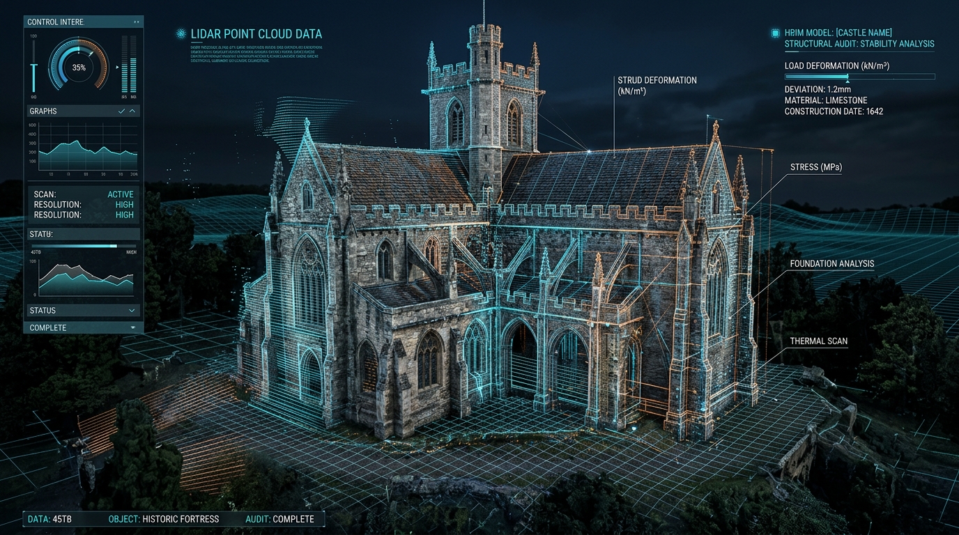
💡 The webinar clarified that scan-to-BIM is still a deliberate, manual process that traces model geometry over the Nor de Puncte, which reinforced my plan to scope higher-accuracy tasks carefully and, when needed, bring in accredited survey partners rather than attempt everything in-house on day one.
💡 HBIM was framed as a long-running evolution of BIM applied to historic fabric, active in research and practice since about 2009, with UK guidance available, which I will reference when shaping information requirements and deciding where a simple model ends and an information-rich HBIM begins.
💡 A key mindset shift for me is to treat the model as an information container, not only geometry, linking archives and oral histories to specific spaces and elements so choices are traceable, an approach illustrated in the Wolverhampton market-street case.
💡 The translocation example at Avoncroft Museum showed how unique IDs, QR or barcodes, and a simple database can track each component from dismantling to pallet and reconstruction, a robust workflow I can adapt with partners when projects demand that level of control.
🛠️ I also learned where SLAM, handheld units, terrestrial scanners, and drone photogrammetry each fit, including their limits, for example SLAM struggling on feature-poor spiral stairs and the need for tripod scans as a backbone, insights I will apply by choosing the right partner or rental path when accuracy and access justify it.
🛠️ The “multimodal mosaic” idea, where different datasets are reconciled into a coordinated whole, is the direction I plan to move toward through pilot projects, starting with scoped externals and interiors and then, as needed, augmenting with specialist capture to prepare data that is HBIM-ready.
💡 On AI, I took a pragmatic view from the webinar, use it where it reduces error or time, such as colour balancing or change detection, while keeping provenance visible, a rule I will apply to any future automation in heritage contexts.
💡 Digital Twin 3D terminology was clarified, with a useful distinction between a visual “digital shadow” and a twin that both reads and affects the physical asset, which guides how I describe current capabilities and plan staged integrations with web viewers and sensors when a project truly requires it.
💡 In practice for clients, my present offer focuses on consultative scoping, orientation-grade capture, and stakeholder walkthroughs, then, if tolerances, compliance or risk call for it, I will propose a partner-delivered measured survey and model production aligned to HBIM guidelines, with all sources and decisions documented for audit.
Ești pregătit să-ți digitizezi spațiul sau să soliciți o ofertă Scan-to-BIM?
Calculează instant prețul scanării 3D LiDAR, al modelelor CAD/BIM și al integrărilor software în mai puțin de 30 de secunde.