Historic Building Information Modeling (HBIM): Captura LiDAR No Destructiva y Conservación del Patrimonio
1. Executive Summary: Digital Conservation through Historic BIM (HBIM)
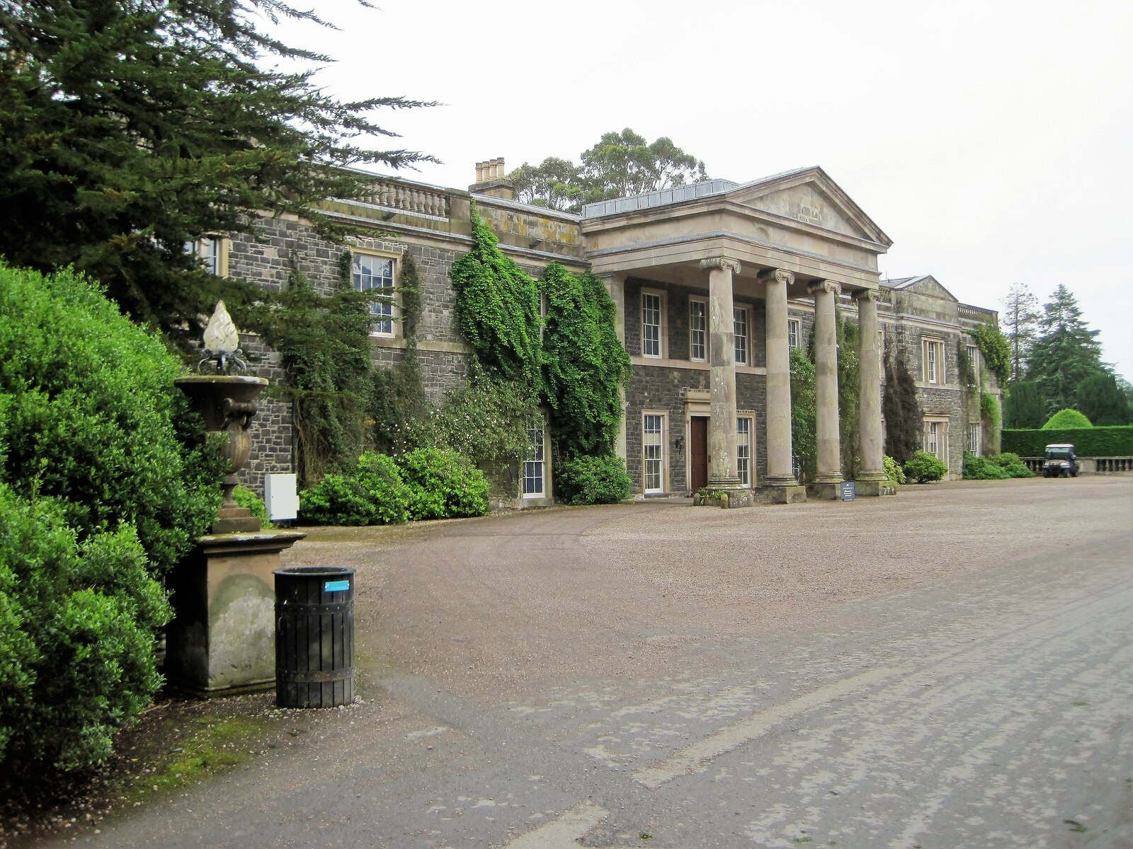
Cultural heritage sites, ancient cathedrals, historic monuments, and protected architectural landmarks require specialized non-destructive documentation techniques. Historic Building Information Modeling (HBIM) bridges classical architectural conservation with cutting-edge 3D laser scanning and spatial computing.
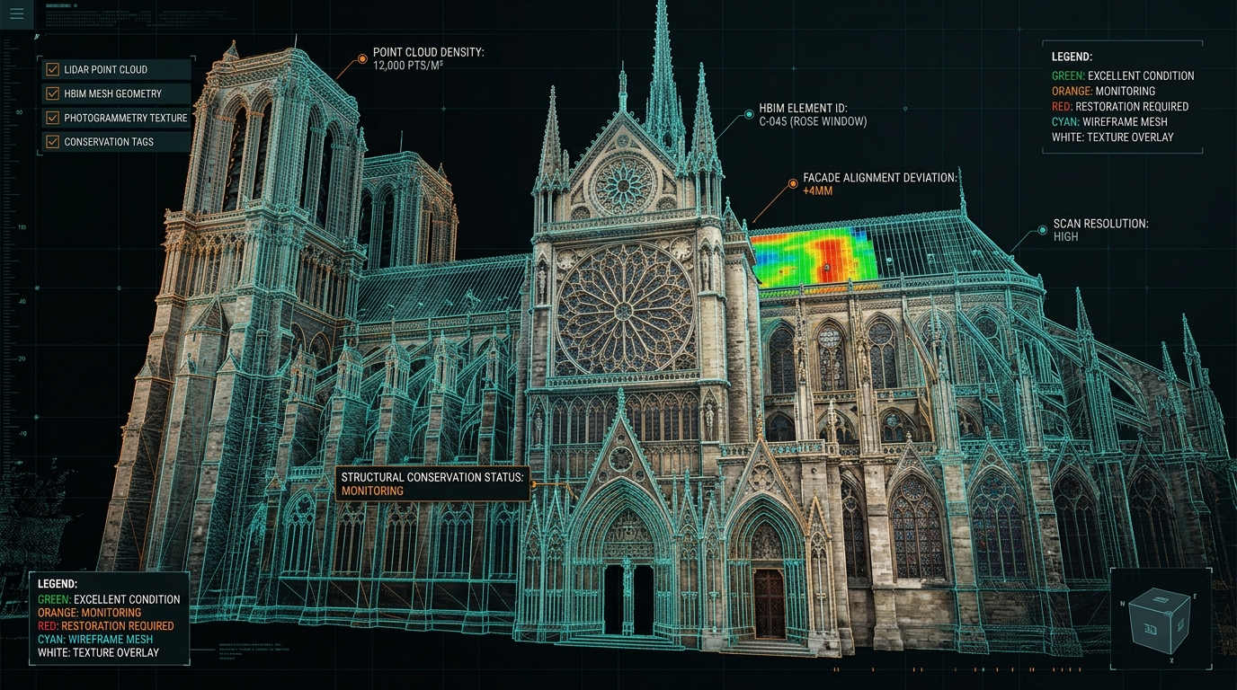
By creating a dimensionally flawless 3D digital twin of heritage structures, conservation architects, structural engineers, and government authorities preserve precise historical records for future restoration. Explore our HBIM & Cultural Heritage Preservation Solutions.
2. Non-Destructive Terrestrial & Mobile LiDAR Capture
Capturing complex, non-standardized historical geometry demands advanced multi-sensor field protocols:
- Sub-Millimeter Laser Scanning: Utilizing phase-shift terrestrial laser scanners to capture intricate stone carvings, vaulting, and decorative plasterwork.
- Aerial Photogrammetry UAV Fusion: Fusing drone photogrammetry with ground-level scans to eliminate shadow zones on roofs and bell towers.
- Structural Deformation Monitoring: Mapping micro-cracks, wall tilts, and subsidence across multi-century stone structures.
3. HBIM Parametric Mesh & Nube de Puntos 3D (.E57, .XYZ) Processing
Converting raw spatial point clouds into structured HBIM models involves translating irregular historical masonry into parametric BIM components (Revit, ArchiCAD). Learn more about our raw point cloud processing on the E57 Nube de Puntos 3D (.E57, .XYZ) Processing and Matterport Scan-to-BIM service pages.
4. Conservation Risk Mitigation & Structural Analysis
| Conservation Vector | HBIM Diagnostic Method | Preservation Outcome |
|---|---|---|
| Seismic Vulnerability | Finite Element Analysis (FEA) mesh export | Calculates earthquake stress distribution |
| Moisture & Erosion | Infrared thermography mapped to 3D mesh | Detects subsurface water infiltration |
| Catastrophic Loss Recovery | Archival millimeter-accurate digital twin | Provides exact blueprint for disaster rebuilding |
5. Archival Access & Public Virtual Heritage
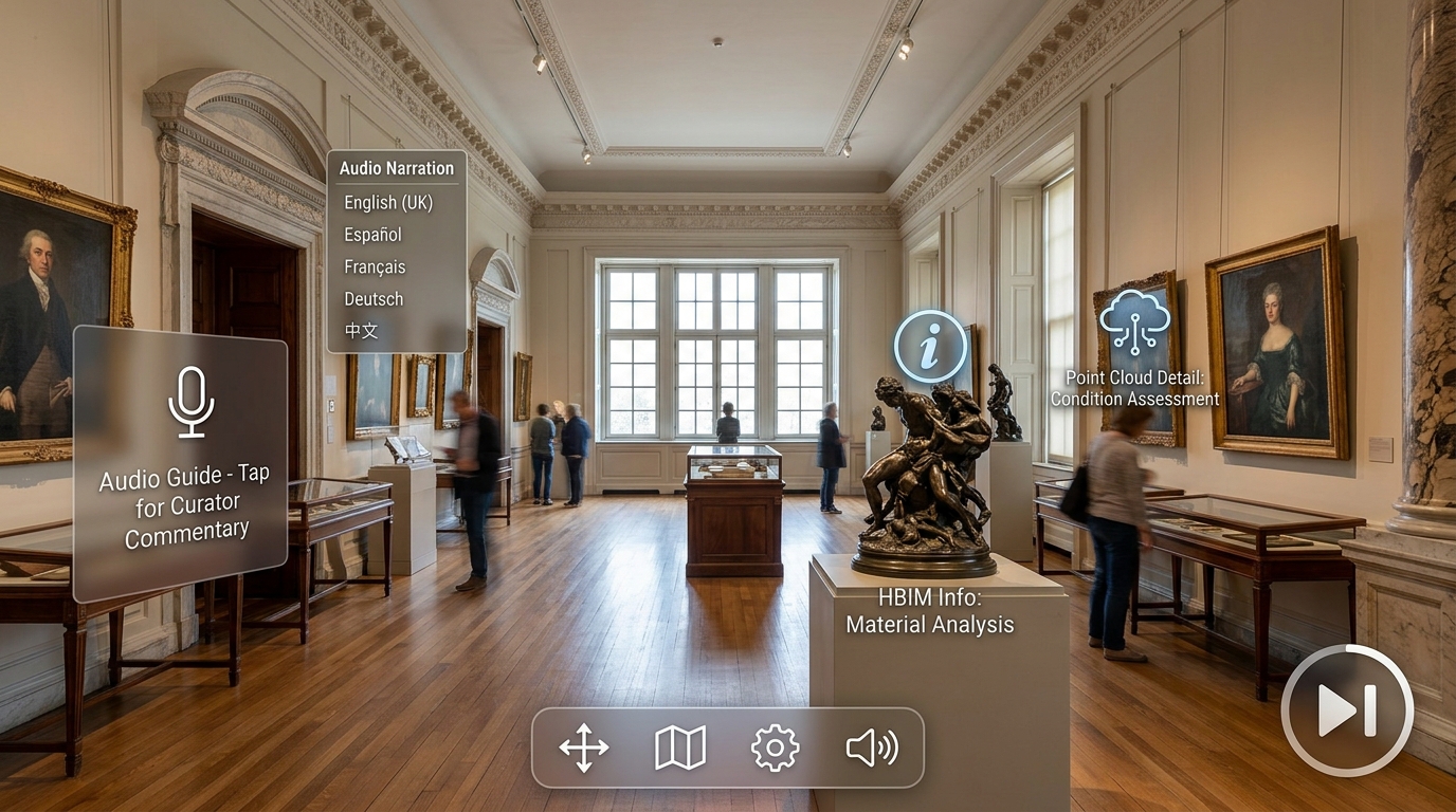
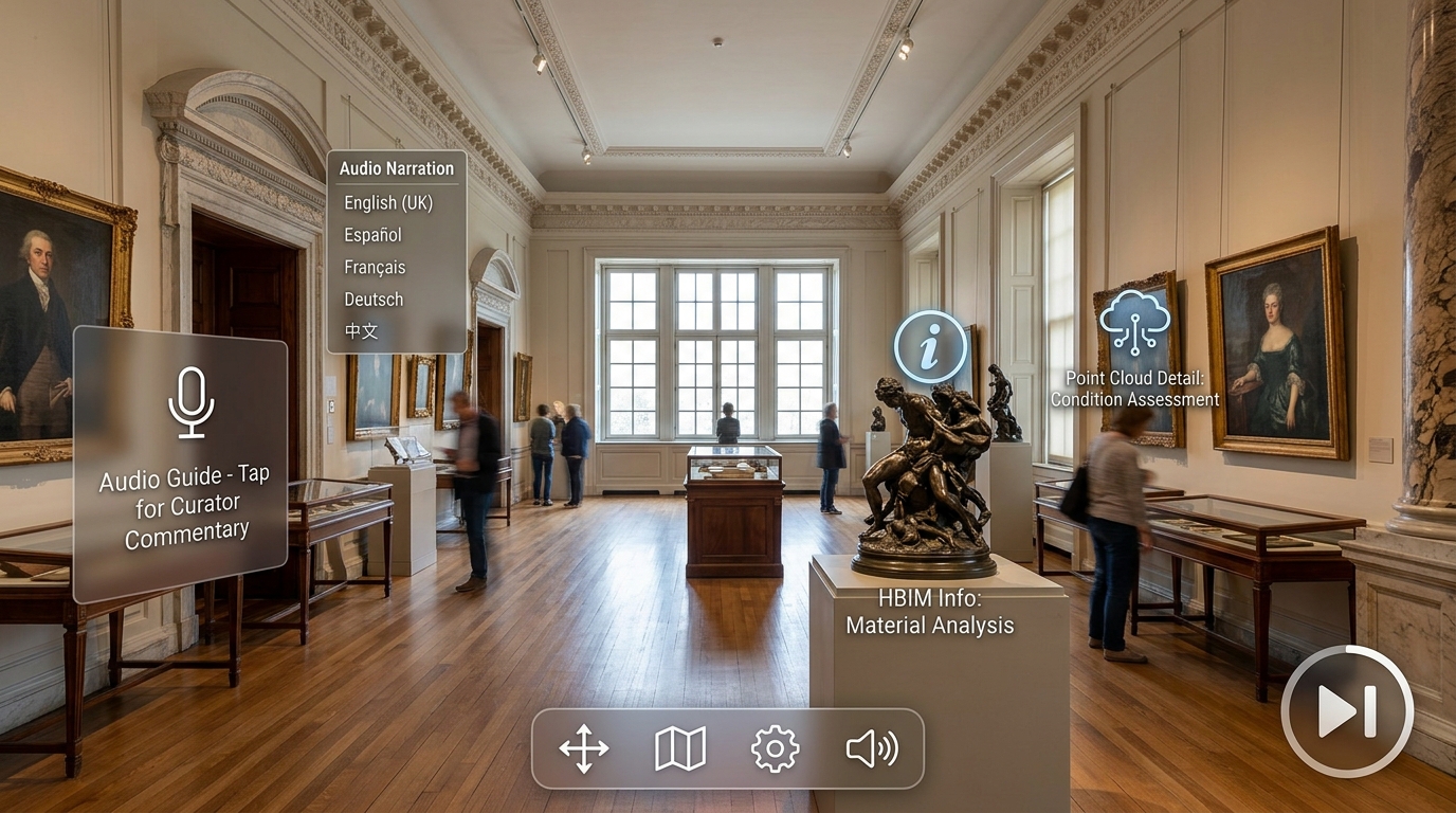
HBIM digital twins democratize access to historical sites through immersive public 3D walkthroughs. Museums and heritage foundations can embed interactive history tags and structural restoration history. For detailed technical inquiries, review our Documentación As-Built or consult with our HBIM spatial specialists.
¿Listo para digitalizar su espacio o solicitar un presupuesto Scan-to-BIM?
Calcule al instante los costes de escaneo 3D LiDAR, modelado CAD/BIM e integraciones de software en menos de 30 segundos.